Reading the radar image
Time
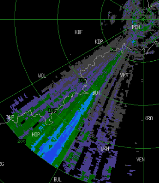
Products are stamped in Coordinated Universal Time (UTC); SAST is UTC+2. A stamp more than about ten minutes behind real time indicates that the radar or the webserver is down.

Reflectivity (dBZ)
Echo strength is reported in dBZ. High values indicate large scatterers — heavy rain, hail, or ice aloft.

Interference
The radar is licensed at 5.62 GHz. Transmissions between 5.55 and 5.67 GHz degrade the data, producing the radial spikes and streaks visible on otherwise clear scans.
Operators in the Potchefstroom area are asked to avoid these bands. The Climatology Research Group can advise on Dynamic Frequency Selection (DFS) configuration.
Place markers
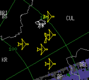
Towns are abbreviated, Gauteng regional airports carry an aircraft symbol, and the cloud marks the SAWS Irene station. Range rings are centred on the radar; the outermost is 200 km, beyond which beam height and earth curvature limit usefulness.
Live image
Lekwena C-band reflectivity
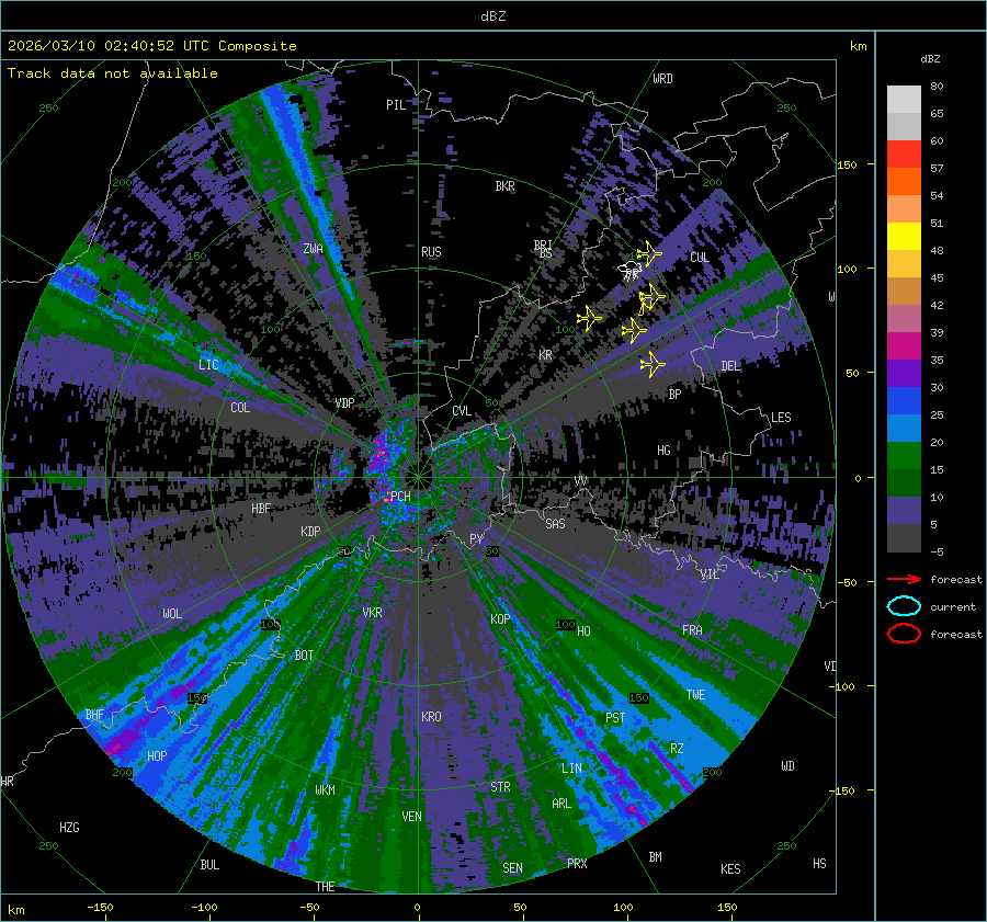
The radar page carries the interactive dBZ map and tracked storm cells.
Background
Weather radar is the primary instrument for real-time convective monitoring. South Africa has a long record in radar meteorology and operates a national network under the South African Weather Service.
Aims
The facility supports that network by training students across disciplines on operational radar systems, and by conducting applied research intended to yield products and services for national use.
Partners
The North-West University and the Water Research Commission funded the acquisition, installation and upgrade of the radar. Lekwena Wildlife Estate provides the site, access control and security; Aon Benfield funded the communication link that makes real-time access possible.
Disclaimer
Further reading
- Radar images: reflectivityNOAA JetStream
- Understanding weather radarWeather Underground
- Everything about the NWS WSR-88DNational Weather Service
- Radar basics for the non-meteorologistwxonline.info
Media coverage
Video
Press
Department of Environmental Affairs. The Minister of Environmental Affairs, Dr Edna Molewa, launched the NWU Lekwena weather radar in Potchefstroom on 22 March 2018, the day before World Meteorological Day. Media release, 22 March 2018 — no longer online.
North-West University. The radar is the result of a three-year study commissioned by the Water Research Commission to develop a rainfall estimation algorithm using data from the new dual-polarised Doppler radar, validated against a dense rain gauge network. Read the release
SABC News. Minister Molewa welcomed the Climatology Research Unit’s work revamping weather radars built in the 1970s and 1980s. Read the article
Traveller24. Coverage of the launch by the Minister of Environmental Affairs and SAWS in Potchefstroom, timed for World Meteorological Day. Read the archived article